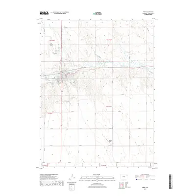
2019 Map of Wray
USGS Topo · Published 2019About this map
The N Fork Republican River valley anchor this High Plains landscape, where the town of Wray serves as a vital regional hub. Water management infrastructure is a defining characteristic of the terrain, evident in the complex network of the Laird Canal, Haigler Canal, and the Wray Watershed District Reservoir Number 3. These features, alongside Olive Lake, illustrate the historical and ongoing efforts to harness the river for local agriculture and industry.
Find a feature on this map
40 named features on this map. Tap any name to fly to it.
Don’t see what you’re looking for? This feature index may not catch every label — zoom into the map to look around manually.
Map Details
Editions of this 2019 Wray Map
This is the sole edition of this map. No revisions or reprints were ever made.
Other maps of this area

1954 · Limon
USGS Topo · 1:250,000

1954 · Sterling
USGS Topo · 1:250,000

1957 · Limon
USGS Topo · 1:250,000

1958 · Limon
USGS Topo · 1:250,000

1958 · Sterling
USGS Topo · 1:250,000

1961 · Robb
USGS Topo · 1:24,000

1961 · Laird
USGS Topo · 1:24,000

1961 · Wray
USGS Topo · 1:24,000

1963 · Vernon
USGS Topo · 1:24,000

1963 · Beecher Island NW
USGS Topo · 1:24,000