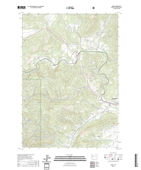
2023 Map of Wren
USGS Topo · Published 2023About this map
Marys River winds through this section of the Willamette Valley fringe, where small rural settlements like Wren and Harris are joined by the winding Gellatly Creek. The landscape transition from the valley floor to the foothills is marked by the presence of the Siuslaw National Forest in the southwest and the prominent Cardwell Hills to the northeast. This area maintains its agricultural and timber character, evidenced by numerous creeks such as Woods Creek and Greasy Creek that feed into the larger river system.
Find a feature on this map
77 named features on this map. Tap any name to fly to it.
Don’t see what you’re looking for? This feature index may not catch every label — zoom into the map to look around manually.
Map Details
Editions of this 2023 Wren Map
This is the sole edition of this map. No revisions or reprints were ever made.
Other maps of this area

1911 · Inavale
USGS Topo · 1:31,680

1913 · Philomath
USGS Topo · 1:31,680

1914 · Soap Creek
USGS Topo · 1:31,680

1921 · Corvallis
USGS Topo · 1:62,500

1922 · Monroe
USGS Topo · 1:62,500

1939 · Marys Peak
USGS Topo · 1:62,500

1939 · Monroe
USGS Topo · 1:62,500

1942 · Marys Peak
USGS Topo · 1:62,500

1942 · Alsea
USGS Topo · 1:62,500

1942 · Monroe
USGS Topo · 1:62,500