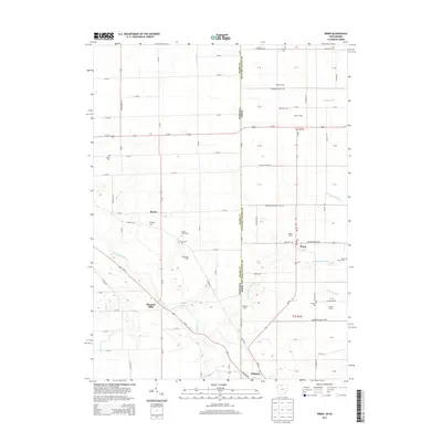
2013 Map of Wren
USGS Topo · Published 2013About this map
Wren and Willshire anchor this agricultural landscape along the border of Ohio and Indiana, where the Saint Marys River meanders through Van Wert and Adams counties. The map captures a high density of named family holdings and generational homesteads, such as Fegley Farms, Sprunger Farm, and Workinger Farms, reflecting the region's enduring farming heritage. Small unincorporated communities like Rivare and Pleasant Mills are connected by a grid of rural roads and the diagonal path of Us-33.
Find a feature on this map
74 named features on this map. Tap any name to fly to it.
Don’t see what you’re looking for? This feature index may not catch every label — zoom into the map to look around manually.
Map Details
Editions of this 2013 Wren Map
This is the sole edition of this map. No revisions or reprints were ever made.
Other maps of this area

1911 · Berne
USGS Topo · 1:48,000

1914 · Celina
USGS Topo · 1:62,500

1914 · Van Wert
USGS Topo · 1:62,500

1944 · Van Wert
USGS Topo · 1:62,500

1944 · Celina
USGS Topo · 1:62,500

1953 · Muncie
USGS Topo · 1:250,000

1956 · Muncie
USGS Topo · 1:250,000
1960 · Convoy
USGS Topo · 1:24,000

1960 · Dixon
USGS Topo · 1:24,000
1960 · Rockford
USGS Topo · 1:24,000