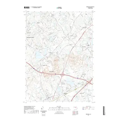
2021 Map of Wrentham
USGS Topo · Published 2021About this map
Lake Pearl and Lake Archer form a central hydrological focus in this detailed survey of Norfolk County. The landscape is a complex network of established residential clusters and preserved open spaces, ranging from Franklin Town and Norfolk in the north to Plainville in the south. These settlements are often defined by their historical infrastructure, such as the numerous burial grounds like City Mills Historical Cem and Shepardville Cem that provide valuable data for genealogical research.
Find a feature on this map
256 named features on this map. Tap any name to fly to it.
Don’t see what you’re looking for? This feature index may not catch every label — zoom into the map to look around manually.
Map Details
Editions of this 2021 Wrentham Map
This is the sole edition of this map. No revisions or reprints were ever made.
Other maps of this area

1885 · Taunton
USGS Topo · 1:62,500

1886 · Dedham
USGS Topo · 1:62,500

1887 · Franklin
USGS Topo · 1:62,500

1887 · Providence
USGS Topo · 1:62,500

1888 · Taunton
USGS Topo · 1:62,500

1889 · Providence
USGS Topo · 1:62,500

1889 · Franklin
USGS Topo · 1:62,500

1893 · Taunton
USGS Topo · 1:62,500

1893 · Franklin
USGS Topo · 1:62,500

1894 · Dedham
USGS Topo · 1:62,500