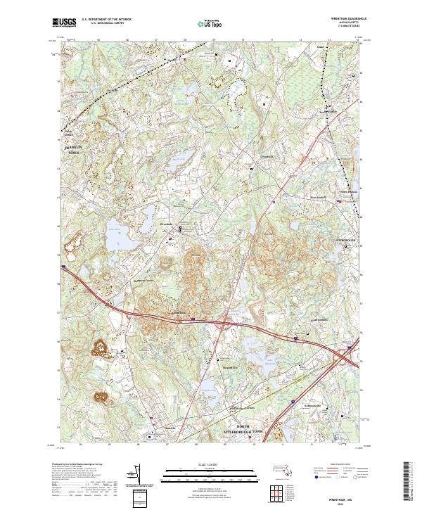
2024 Map of Wrentham
USGS Topo · Published 2024About this map
The town of Wrentham serves as a central hub in this modern survey, surrounded by established villages like Norfolk, Plainville, and Pondville. The landscape is heavily defined by its glacial history and water resources, featuring numerous bodies of water such as Lake Pearl, Lake Archer, and Lake Mirimichi. A significant genealogical record is present through a dense collection of burial sites, including the Trinity Episcopal Church Burial Ground and the City Mills Historical Cem.
Find a feature on this map
260 named features on this map. Tap any name to fly to it.
Don’t see what you’re looking for? This feature index may not catch every label — zoom into the map to look around manually.
Map Details
Editions of this 2024 Wrentham Map
This is the sole edition of this map. No revisions or reprints were ever made.
Other maps of this area

1885 · Taunton
USGS Topo · 1:62,500

1886 · Dedham
USGS Topo · 1:62,500

1887 · Franklin
USGS Topo · 1:62,500

1887 · Providence
USGS Topo · 1:62,500

1888 · Taunton
USGS Topo · 1:62,500

1889 · Providence
USGS Topo · 1:62,500

1889 · Franklin
USGS Topo · 1:62,500

1893 · Taunton
USGS Topo · 1:62,500

1893 · Franklin
USGS Topo · 1:62,500

1894 · Dedham
USGS Topo · 1:62,500