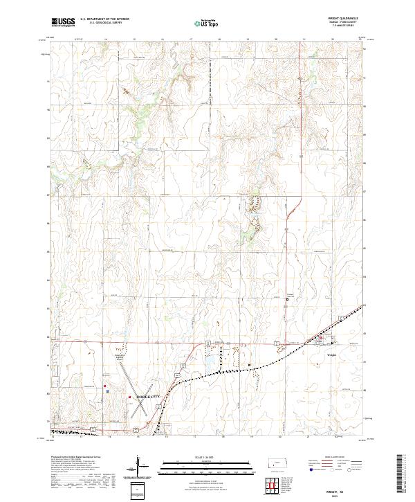
2022 Map of Wright
USGS Topo · Published 2022About this map
Dodge City anchor the southwestern corner of this survey, where the urban grid meets the agricultural landscape of Ford County. The settlement of Wright sits to the east, connected by a network of sectional roads and the path of Coon Creek. The terrain is defined by the drainage basins of Duck Creek and Elm Creek, which flow southward toward the Arkansas River valley. This landscape reflects the intersection of early pioneer infrastructure and modern development, featuring established landmarks like the Dodge City Regional Airport alongside long-standing local sites such as Saint Andrews Cemetery and Pleasant Vale Cemetery. Water management in this semi-arid region is highlighted by Ford County Lake, while a dense grid of rural routes including Jewell Rd and Iron Rd facilitates access to the surrounding farmsteads.
Find a feature on this map
33 named features on this map. Tap any name to fly to it.
Don’t see what you’re looking for? This feature index may not catch every label — zoom into the map to look around manually.
Map Details
Editions of this 2022 Wright Map
This is the sole edition of this map. No revisions or reprints were ever made.
Other maps of this area

1892 · Dodge
USGS Topo · 1:125,000

1892 · Spearville
USGS Topo · 1:125,000

1894 · Spearville
USGS Topo · 1:125,000

1955 · Pratt
USGS Topo · 1:250,000

1955 · Dodge City
USGS Topo · 1:250,000

1958 · Dodge City
USGS Topo · 1:250,000

1959 · Pratt
USGS Topo · 1:250,000

1959 · Dodge City
USGS Topo · 1:250,000

1968 · Dodge City NE
USGS Topo · 1:24,000

1968 · Dodge City
USGS Topo · 1:24,000