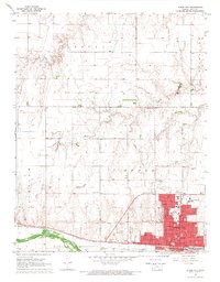
1968 Map of Dodge City
USGS Topo · Published 1969About this map
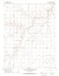
Dodge City is the focal point of this late-1960s survey, showing its development along the north bank of the Arkansas River. The city’s historic identity is grounded in features like Boot Hill and the presence of the Atchison Topeka and Santa Fe railroad, which parallels the river. A significant historical line, the Old Indian Treaty Boundary, cuts across the landscape just west of the city, marking a legacy of territorial division. Educational and religious institutions are prominent, including St. Mary of the Plains College, Sacred Heart Sch, and the University grounds. To the north, the terrain transitions into the high plains of the Royal and Dodge townships, where the land is dissected by Saw Log Creek and Duck Creek. The presence of an Aban'd Canal and various Gravel Pits reflects the local intersection of water management and industrial activity in Ford County.
Find a feature on this map
38 named features on this map. Tap any name to fly to it.
Don’t see what you’re looking for? This feature index may not catch every label — zoom into the map to look around manually.
Map Details
Editions of this 1968 Dodge City Map
3 editions found
Other maps of this area

1892 · Dodge
USGS Topo · 1:125,000

1892 · Spearville
USGS Topo · 1:125,000

1894 · Spearville
USGS Topo · 1:125,000

1955 · Pratt
USGS Topo · 1:250,000

1955 · Dodge City
USGS Topo · 1:250,000

1958 · Dodge City
USGS Topo · 1:250,000

1959 · Pratt
USGS Topo · 1:250,000

1959 · Dodge City
USGS Topo · 1:250,000
1968 · Dodge City NE
USGS Topo · 1:24,000
1968 · Dodge City NW
USGS Topo · 1:24,000