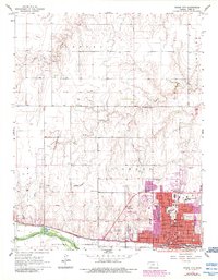
1968 Map of Dodge City
USGS Topo · Published 1984About this map
The Old Indian Treaty Boundary slices across this landscape, providing a historical reference point for the expansion of Dodge City. The urban footprint is defined by the Arkansas River to the south and the tracks of the Atchison Topeka and Santa Fe railroad, which historically fueled the city's growth as a cattle and trade hub. By the mid-1960s, the community's institutional depth is visible through several educational landmarks, including St Mary of the Plains College and Dodge City Community College.
Find a feature on this map
35 named features on this map. Tap any name to fly to it.
Don’t see what you’re looking for? This feature index may not catch every label — zoom into the map to look around manually.
Map Details
Editions of this 1968 Dodge City Map
3 editions found

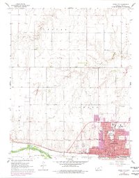
Other maps of this area

1892 · Dodge
USGS Topo · 1:125,000

1892 · Spearville
USGS Topo · 1:125,000

1894 · Spearville
USGS Topo · 1:125,000

1955 · Pratt
USGS Topo · 1:250,000

1955 · Dodge City
USGS Topo · 1:250,000

1958 · Dodge City
USGS Topo · 1:250,000

1959 · Pratt
USGS Topo · 1:250,000

1959 · Dodge City
USGS Topo · 1:250,000

1968 · Dodge City NE
USGS Topo · 1:24,000

1968 · Dodge City NW
USGS Topo · 1:24,000