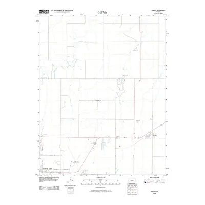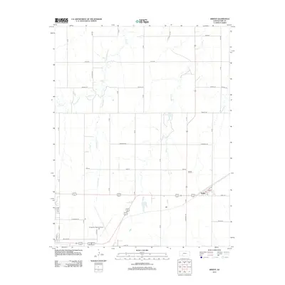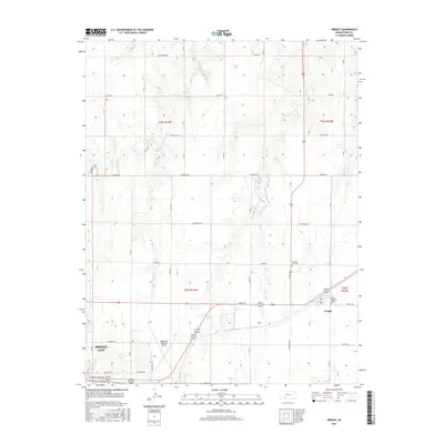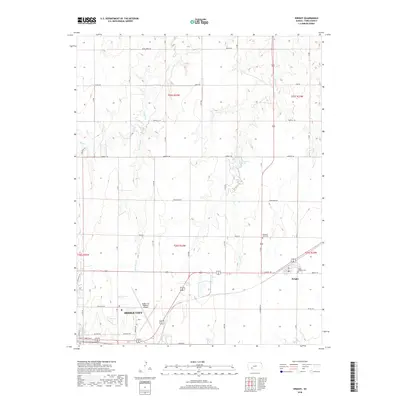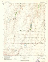
1972 Map of Wright
USGS Topo · Published 1974About this map
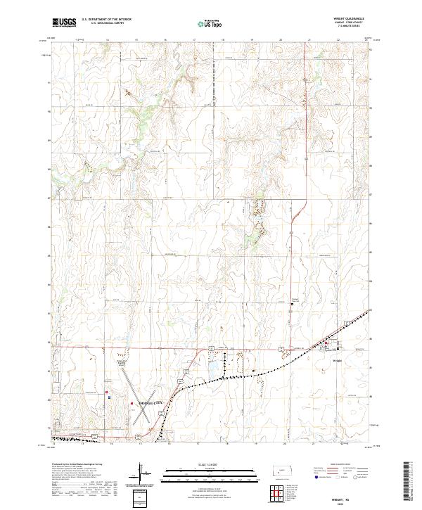
The small grain-elevator settlement of Wright sits at the eastern edge of this landscape, dominated by the sweeping paths of the Atchison Topeka and Santa Fe railroad and the adjacent highway corridor. This 1970s survey captures the region's agricultural and transit-based economy, evidenced by the large Feed Lot and the expansive Dodge City Municipal Airport with its associated Beacon. The map provides a distinct record of historical cartography through the inclusion of the Old Indian Treaty Boundary and the Old Military Reservation Boundary, which cut across the modern township grids.
Find a feature on this map
24 named features on this map. Tap any name to fly to it.
Don’t see what you’re looking for? This feature index may not catch every label — zoom into the map to look around manually.
Map Details
Editions of this 1972 Wright Map
This is the sole edition of this map. No revisions or reprints were ever made.
Historical Maps of Dodge City Through Time
6 maps found