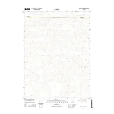
2014 Map of Wright Valley NE
USGS Topo · Published 2014About this map
The boundary between Hooker Co and Mcpherson Co bisects this northern Nebraska landscape, marking a quiet division in the heart of the Sandhills. This 2014 survey reveals an area defined almost entirely by its distinctive landforms, where deep valleys and high dune ridges create a complex topographic pattern. The lack of named settlements or infrastructure highlights the preserved, open character of this cattle country during the early 21st century. Researchers and geographers can use the detailed contour lines to study the unique drainage patterns and wind-sculpted terrain that characterize the region north of the Dismal River watershed.
Find a feature on this map
1 named feature on this map. Tap any name to fly to it.
Don’t see what you’re looking for? This feature index may not catch every label — zoom into the map to look around manually.
Map Details
Editions of this 2014 Wright Valley NE Map
This is the sole edition of this map. No revisions or reprints were ever made.
Other maps of this area

1947 · Dismal River Ranch
USGS Topo · 1:62,500

1949 · Dismal River Ranch
USGS Topo · 1:62,500

1949 · Wright Valley
USGS Topo · 1:62,500

1950 · Shimmins Lake
USGS Topo · 1:62,500

1951 · Tryon
USGS Topo · 1:62,500

1951 · Wright Valley
USGS Topo · 1:62,500

1954 · North Platte
USGS Topo · 1:250,000

1956 · North Platte
USGS Topo · 1:250,000

1957 · North Platte
USGS Topo · 1:250,000

1967 · North Platte
USGS Topo · 1:250,000