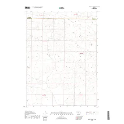
2017 Map of Wright Valley NE
USGS Topo · Published 2017About this map
The vast sandhill terrain of the Nebraska interior is defined by the survey lines of the Hooker Co and Mcpherson Co boundary. This 2017 U.S. Geological Survey topographic map documents the sectioned landscape of the northern Sandhills, where public land survey system markers including t21n r33w, t20n r33w, and t19n r33w provide the primary framework for land ownership and navigation. The map illustrates the characteristic closed basins and intermittent drainage patterns of this stabilized dune country. While largely devoid of named settlements or infrastructure, the sheet serves as a primary record of topography and township boundaries across the sparsely populated border of these two counties.
Find a feature on this map
7 named features on this map. Tap any name to fly to it.
Don’t see what you’re looking for? This feature index may not catch every label — zoom into the map to look around manually.
Map Details
Editions of this 2017 Wright Valley NE Map
This is the sole edition of this map. No revisions or reprints were ever made.
Other maps of this area

1947 · Dismal River Ranch
USGS Topo · 1:62,500

1949 · Dismal River Ranch
USGS Topo · 1:62,500

1949 · Wright Valley
USGS Topo · 1:62,500

1950 · Shimmins Lake
USGS Topo · 1:62,500

1951 · Tryon
USGS Topo · 1:62,500

1951 · Wright Valley
USGS Topo · 1:62,500

1954 · North Platte
USGS Topo · 1:250,000

1956 · North Platte
USGS Topo · 1:250,000

1957 · North Platte
USGS Topo · 1:250,000

1967 · North Platte
USGS Topo · 1:250,000