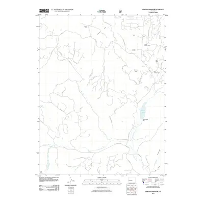
2011 Map of Wrights Reservoir
USGS Topo · Published 2011About this map
Wrights Reservoir and its associated Mount Pisgah Dam anchor this high-altitude landscape in Teller County, where water management and ranching define the land use. The terrain is marked by significant elevation changes, from the prominent Beasley Hills and Dog Head summits to the steep walls of Box Canyon. Family-held lands are central to the area's identity, evidenced by several named properties including Witcher Ranch, W Snare Ranch, and B Lazy M Ranch.
Find a feature on this map
74 named features on this map. Tap any name to fly to it.
Don’t see what you’re looking for? This feature index may not catch every label — zoom into the map to look around manually.
Map Details
Editions of this 2011 Wrights Reservoir Map
This is the sole edition of this map. No revisions or reprints were ever made.
Other maps of this area

1894 · Pikes Peak
USGS Topo · 1:125,000

1901 · Pikes Peak
USGS Topo · 1:125,000

1901 · Pikes Peak
USGS Topo · 1:62,500

1942 · Cover Mtn.
USGS Topo · 1:62,500

1948 · Cover Mtn.
USGS Topo · 1:62,500

1951 · Cripple Creek South
USGS Topo · 1:24,000

1951 · Cripple Creek North
USGS Topo · 1:24,000

1954 · Divide
USGS Topo · 1:24,000

1954 · Pueblo
USGS Topo · 1:250,000

1956 · Lake George
USGS Topo · 1:24,000