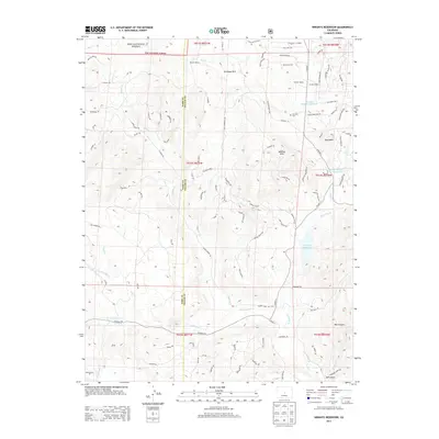
2013 Map of Wrights Reservoir
USGS Topo · Published 2013About this map
Pike National Forest occupies the northern reaches of this Colorado landscape, where high-altitude drainages such as Slater Cr and Fourmile Cr converge toward a series of managed water bodies. The central importance of water management in this arid ranching environment is evidenced by Wrights Reservoir, Jordan Number 1 Reservoir, and Beitz Number 2 Reservoir. These catchments support a sparse network of established homesteads, including Witcher Ranch and the B Lazy M Ranch.
Find a feature on this map
102 named features on this map. Tap any name to fly to it.
Don’t see what you’re looking for? This feature index may not catch every label — zoom into the map to look around manually.
Map Details
Editions of this 2013 Wrights Reservoir Map
This is the sole edition of this map. No revisions or reprints were ever made.
Other maps of this area

1894 · Pikes Peak
USGS Topo · 1:125,000

1901 · Pikes Peak
USGS Topo · 1:125,000

1901 · Pikes Peak
USGS Topo · 1:62,500

1942 · Cover Mtn.
USGS Topo · 1:62,500

1948 · Cover Mtn.
USGS Topo · 1:62,500

1951 · Cripple Creek South
USGS Topo · 1:24,000

1951 · Cripple Creek North
USGS Topo · 1:24,000

1954 · Divide
USGS Topo · 1:24,000

1954 · Pueblo
USGS Topo · 1:250,000

1956 · Lake George
USGS Topo · 1:24,000