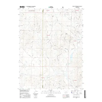
2016 Map of Wrights Reservoir
USGS Topo · Published 2016About this map
Wrights Reservoir and the surrounding high-altitude drainage basins of Fourmile Cr define this pocket of the Colorado front range. The landscape is a network of named canyons and gulches, including Mill Gulch and Box Canyon, where intermittent streams like Slater Cr and Dry Cr carve through the foothills. Small residential developments such as Sangre De Cristo Vw and Golden Eagle Hts are clustered in the central part of the quadrangle, while the northern reaches transitions into the protected timberlands of the Pike National Forest.
Find a feature on this map
125 named features on this map. Tap any name to fly to it.
Don’t see what you’re looking for? This feature index may not catch every label — zoom into the map to look around manually.
Map Details
Editions of this 2016 Wrights Reservoir Map
This is the sole edition of this map. No revisions or reprints were ever made.
Other maps of this area

1894 · Pikes Peak
USGS Topo · 1:125,000

1901 · Pikes Peak
USGS Topo · 1:125,000

1901 · Pikes Peak
USGS Topo · 1:62,500

1942 · Cover Mtn.
USGS Topo · 1:62,500

1948 · Cover Mtn.
USGS Topo · 1:62,500

1951 · Cripple Creek South
USGS Topo · 1:24,000

1951 · Cripple Creek North
USGS Topo · 1:24,000

1954 · Divide
USGS Topo · 1:24,000

1954 · Pueblo
USGS Topo · 1:250,000

1956 · Lake George
USGS Topo · 1:24,000