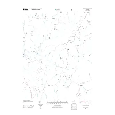
2013 Map of Wrigley
USGS Topo · Published 2013About this map
North Fork Licking River winds through this landscape, connecting a network of upland ridges and creek bottoms where family-named cemeteries and small settlements define the local geography. Communities like Blairs Mills, Wrigley, and Craney serve as anchors in a region where travel is shaped by terrain features such as Winding Stairs and Ditney Ridge. The map is particularly notable for its high density of family burial grounds, including the Kidd-White Cem, Crisp Farm Cem, and Prather Stamper Cem, providing a detailed record for genealogical research in this part of Kentucky. The orientation of roads like Old Blairs Mill Rd and Elam Cemetery Rd reveals a settlement pattern tied closely to the drainage of Devils Fork and Minor Creek.
Find a feature on this map
112 named features on this map. Tap any name to fly to it.
Don’t see what you’re looking for? This feature index may not catch every label — zoom into the map to look around manually.
Map Details
Editions of this 2013 Wrigley Map
This is the sole edition of this map. No revisions or reprints were ever made.
Other maps of this area

1889 · Salyersville
USGS Topo · 1:125,000

1891 · Salyersville
USGS Topo · 1:125,000

1899 · Salyersville
USGS Topo · 1:125,000

1929 · Morehead
USGS Topo · 1:48,000

1935 · Morehead
USGS Topo · 1:62,500

1950 · Ault
USGS Topo · 1:24,000

1950 · Sandy Hook
USGS Topo · 1:24,000

1950 · Lenox
USGS Topo · 1:24,000

1951 · Ezel
USGS Topo · 1:24,000
1951 · Lenox
USGS Topo · 1:24,000