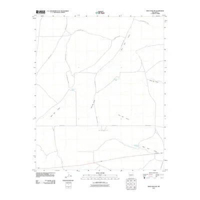
2010 Map of Wrye Peak NW
USGS Topo · Published 2010About this map
White Sands Missile Range dominates this portion of Socorro County, representing a landscape defined by restricted military access and arid terrain drainage. The southeastern corner of the quadrangle provides a vital human connection at the Bingham Post Office, situated along the highway. This area serves as a transition point between the open range and the network of rugged drainage systems that carve through the high desert floor.
Find a feature on this map
15 named features on this map. Tap any name to fly to it.
Don’t see what you’re looking for? This feature index may not catch every label — zoom into the map to look around manually.
Map Details
Editions of this 2010 Wrye Peak NW Map
This is the sole edition of this map. No revisions or reprints were ever made.
Other maps of this area

1916 · La Joya
USGS Topo · 1:125,000

1918 · Oscura Peak
USGS Topo · 1:125,000

1948 · Carthage
USGS Topo · 1:62,500

1948 · Bingham
USGS Topo · 1:62,500

1954 · Tularosa
USGS Topo · 1:250,000

1954 · Socorro
USGS Topo · 1:250,000

1958 · Socorro
USGS Topo · 1:250,000

1958 · Tularosa
USGS Topo · 1:250,000

1962 · Socorro
USGS Topo · 1:250,000

1972 · Wilson Ranch
USGS Topo · 1:24,000