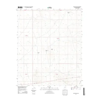
2013 Map of Wrye Peak NW
USGS Topo · Published 2013About this map
Jornada del Muerto dominates the terrain of this Socorro County survey, a region characterized by a high-desert drainage system of deep canyons. These geological features, including Mesa Well Canyon, Wash Hale Canyon, and the curiously named Hoot Owl Canyon, illustrate the rugged path of seasonal water flow through the basin. Human presence and land management are visible through a network of water collection points such as Glover Tank, Morton Tank, and Washtub Tank, which are vital for supporting life in this arid environment. Transportation infrastructure is represented by the east-west corridor of Us-380 and the restricted access of WSMR S Route 3501, reflecting the dual nature of modern use in this part of New Mexico, where public thoroughfares cross alongside government-managed lands.
Find a feature on this map
15 named features on this map. Tap any name to fly to it.
Don’t see what you’re looking for? This feature index may not catch every label — zoom into the map to look around manually.
Map Details
Editions of this 2013 Wrye Peak NW Map
This is the sole edition of this map. No revisions or reprints were ever made.
Other maps of this area

1916 · La Joya
USGS Topo · 1:125,000

1918 · Oscura Peak
USGS Topo · 1:125,000

1948 · Carthage
USGS Topo · 1:62,500

1948 · Bingham
USGS Topo · 1:62,500

1954 · Tularosa
USGS Topo · 1:250,000

1954 · Socorro
USGS Topo · 1:250,000

1958 · Socorro
USGS Topo · 1:250,000

1958 · Tularosa
USGS Topo · 1:250,000

1962 · Socorro
USGS Topo · 1:250,000

1972 · Wilson Ranch
USGS Topo · 1:24,000