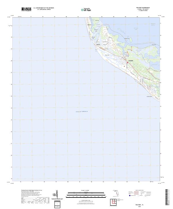
2025 Map of Wulfert
USGS Topo · Published 2025About this map
Sanibel and the southern edge of Captiva occupy this coastal barrier landscape, where the shifting inlets and bays define the modern topography. The settlement of Wulfert sits near the northern end of Sanibel, buffered from Pine Island Sound by a complex of mangrove islands including Buck Key, Runyan Key, and the Wulfert Keys. This map documents a high degree of modern residential development and recreational infrastructure, with intricate road networks such as Sanibel-Captiva Rd and Wildlife Dr winding through the interior wetlands.
Find a feature on this map
38 named features on this map. Tap any name to fly to it.
Don’t see what you’re looking for? This feature index may not catch every label — zoom into the map to look around manually.
Map Details
Editions of this 2025 Wulfert Map
This is the sole edition of this map. No revisions or reprints were ever made.
Other maps of this area

1956 · Tampa
USGS Topo · 1:250,000

1956 · Charlotte Harbor
USGS Topo · 1:250,000

1958 · Captiva
USGS Topo · 1:24,000

1958 · Sanibel
USGS Topo · 1:24,000

1958 · Pine Island Center
USGS Topo · 1:24,000
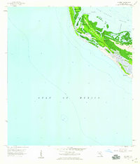
1958 · Wulfert
USGS Topo · 1:24,000

1959 · Tampa
USGS Topo · 1:250,000

1960 · Tampa
USGS Topo · 1:250,000

1972 · Tampa
USGS Topo · 1:250,000
1981 · Sanibel
USGS Topo · 1:100,000