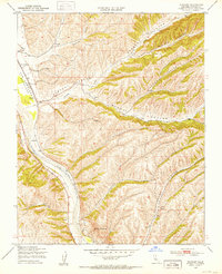
1949 Map of Wunpost
USGS Topo · Published 1953About this map
The Salinas River carves a broad valley through the southern Monterey County hills, serving as the primary corridor for the Southern Pacific railroad. Near the small settlement of Wunpost, the rail line and river are joined by aviation history at Rosenberg Airfield, while Getty Siding further north speaks to the industrial transport needs of the late 1940s. The landscape is defined by a dense network of deep canyons, including Walker Canyon, Sarah Canyon, and Portuguese Canyon, which drain the surrounding highlands toward the river. These features, along with the prominent Semas Mountain, illustrate the complex topography that constrained development and agriculture to the valley floors and lower slopes like Swain Valley. Numerous windmills scattered across the hillsides indicate a historical reliance on groundwater for livestock or small-scale farming in this semi-arid region.
Find a feature on this map
18 named features on this map. Tap any name to fly to it.
Don’t see what you’re looking for? This feature index may not catch every label — zoom into the map to look around manually.
Map Details
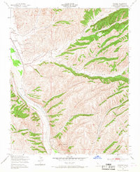
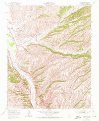
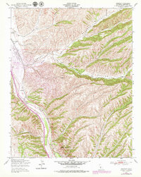
Editions of this 1949 Wunpost Map
4 editions found
Other maps of this area

1912 · San Ardo
USGS Topo · 1:31,680

1915 · Priest Valley
USGS Topo · 1:125,000

1919 · San Miguel
USGS Topo · 1:62,500

1919 · Bradley
USGS Topo · 1:62,500

1941 · Priest Valley
USGS Topo · 1:62,500

1941 · San Ardo
USGS Topo · 1:62,500

1941 · Bradley
USGS Topo · 1:62,500

1943 · San Ardo
USGS Topo · 1:62,500

1944 · Priest Valley
USGS Topo · 1:62,500

1947 · San Luis Obispo
USGS Topo · 1:250,000