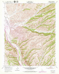
1949 Map of Wunpost
USGS Topo · Published 1979About this map
The San Ardo Oil Field dominates the western landscape of this Monterey County survey, illustrating the industrial footprint of petroleum extraction along the central coast. Following the path of the Salinas River, the Southern Pacific railroad provides the primary transport corridor, connecting the small settlement of Wunpost and the Getty Siding. This transportation and industrial infrastructure is hemmed in by a complex network of drainage systems, including Sargent Canyon and Powell Canyon, which carve through the high ground east of the river valley.
Find a feature on this map
18 named features on this map. Tap any name to fly to it.
Don’t see what you’re looking for? This feature index may not catch every label — zoom into the map to look around manually.
Map Details
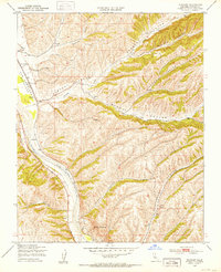
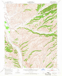
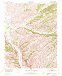
Editions of this 1949 Wunpost Map
4 editions found
Other maps of this area

1912 · San Ardo
USGS Topo · 1:31,680

1915 · Priest Valley
USGS Topo · 1:125,000

1919 · San Miguel
USGS Topo · 1:62,500

1919 · Bradley
USGS Topo · 1:62,500

1941 · Priest Valley
USGS Topo · 1:62,500

1941 · San Ardo
USGS Topo · 1:62,500

1941 · Bradley
USGS Topo · 1:62,500

1943 · San Ardo
USGS Topo · 1:62,500

1944 · Priest Valley
USGS Topo · 1:62,500

1947 · San Luis Obispo
USGS Topo · 1:250,000