2017 Map of Wyandotte OE E
USGS Topo · Published 2017About this map
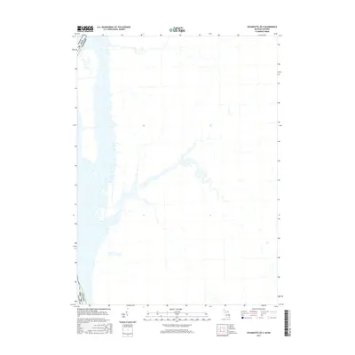
The international boundary between the Usa and Canada defines this 2017 chart of the waters and shoreline south of Detroit. Focused on the aquatic and coastal interface, the map delineates the administrative line where Wayne Co, Mi meets Ontario. The detailed hydrography traces the complex series of channels, inlets, and islands that characterize this segment of the Detroit River corridor. While the interior landscape is minimally detailed, the precise rendering of the water's edge and the international border provides a clear view of the maritime geography connecting Michigan to its northern neighbor.
Find a feature on this map
1 named feature on this map. Tap any name to fly to it.
Don’t see what you’re looking for? This feature index may not catch every label — zoom into the map to look around manually.
Map Details
Editions of this 2017 Wyandotte OE E Map
This is the sole edition of this map. No revisions or reprints were ever made.
Other maps of this area

1905 · Detroit
USGS Topo · 1:62,500

1905 · Grosse Pointe
USGS Topo · 1:62,500

1906 · Wyandotte
USGS Topo · 1:62,500

1912 · Wyandotte
USGS Topo · 1:62,500

1918 · Detroit
USGS Topo · 1:62,500

1918 · Grosse Pointe
USGS Topo · 1:62,500

1924 · Detroit
USGS Topo · 1:62,500

1929 · Wyandotte
USGS Topo · 1:62,500

1934 · Detroit
USGS Topo · 1:62,500

1936 · Wyandotte
USGS Topo · 1:31,680