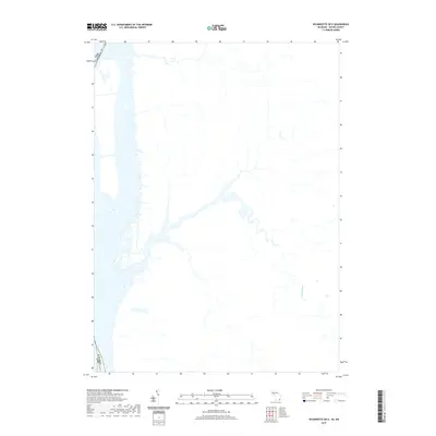
2019 Map of Wyandotte OE E
USGS Topo · Published 2019About this map
The Canard River flows through this landscape along the international boundary between the USA and Canada. This 2019 survey by the U.S. Geological Survey provides a technical view of the aquatic and shoreline features along the Detroit River corridor. The drainage patterns and hydrography suggest a region defined by its proximity to major inland waterways and the maritime border. While terrestrial details such as roads and buildings are omitted from this specific data layer, the focus on water systems highlights the intricate network of inlets and river courses that characterize the riverfront south of Windsor, Ontario.
Find a feature on this map
2 named features on this map. Tap any name to fly to it.
Don’t see what you’re looking for? This feature index may not catch every label — zoom into the map to look around manually.
Map Details
Editions of this 2019 Wyandotte OE E Map
This is the sole edition of this map. No revisions or reprints were ever made.
Other maps of this area

1905 · Detroit
USGS Topo · 1:62,500

1905 · Grosse Pointe
USGS Topo · 1:62,500

1906 · Wyandotte
USGS Topo · 1:62,500

1912 · Wyandotte
USGS Topo · 1:62,500

1918 · Detroit
USGS Topo · 1:62,500

1918 · Grosse Pointe
USGS Topo · 1:62,500

1924 · Detroit
USGS Topo · 1:62,500

1929 · Wyandotte
USGS Topo · 1:62,500

1934 · Detroit
USGS Topo · 1:62,500

1936 · Wyandotte
USGS Topo · 1:31,680