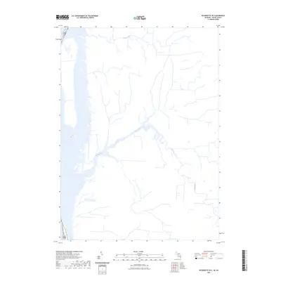
2023 Map of Wyandotte OE E
USGS Topo · Published 2023About this map
The Detroit River forms a major international corridor in this modern topographical study, defining the boundary between the Usa and Can. The landscape is dominated by the intricate drainage systems and wetlands of the Canard River and Turkey Creek, which flow through the low-lying terrain. This map highlights the complex industrial and environmental interface along the waterway, where small inlets and marshy areas along the riverbanks intersect with modern land use. The detailed hydrography of the Canard River basin reveals the natural meandering patterns that persist in this heavily managed region near the Detroit metropolitan area, offering a clear view of the contemporary shoreline and international border as they existed in the early 2020s.
Find a feature on this map
4 named features on this map. Tap any name to fly to it.
Don’t see what you’re looking for? This feature index may not catch every label — zoom into the map to look around manually.
Map Details
Editions of this 2023 Wyandotte OE E Map
This is the sole edition of this map. No revisions or reprints were ever made.
Other maps of this area

1905 · Detroit
USGS Topo · 1:62,500

1905 · Grosse Pointe
USGS Topo · 1:62,500

1906 · Wyandotte
USGS Topo · 1:62,500

1912 · Wyandotte
USGS Topo · 1:62,500

1918 · Detroit
USGS Topo · 1:62,500

1918 · Grosse Pointe
USGS Topo · 1:62,500

1924 · Detroit
USGS Topo · 1:62,500

1929 · Wyandotte
USGS Topo · 1:62,500

1934 · Detroit
USGS Topo · 1:62,500

1936 · Wyandotte
USGS Topo · 1:31,680