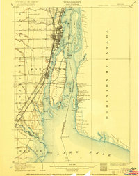
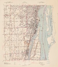
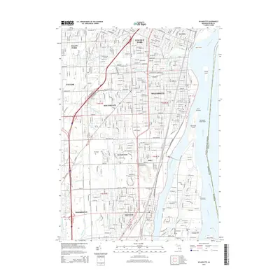
1906 Map of Wyandotte
USGS Topo · Published 1922About this map
The Detroit River serves as a bustling international corridor in this early 20th-century survey, dividing the United States from the Dominion of Canada. On the Michigan side, industrial and residential growth centers on Wyandotte and Trenton, while the river itself is a complex network of channels and islands including Grosse Isle and Fighting Island. This era captures the height of steam and electric rail transport, with multiple lines like the Michigan Central RR and the Detroit Monroe and Toledo Shore Line Electric Ry paralleling the coast. Navigation is critical to the region's identity, evidenced by numerous aids such as the Mamajuda Light and Limekiln Crossing Range Lights. The southern reaches transition into the marshy landscape of Lake Erie at Pt Mouille, where the Huron River meets the lake near Rockwood.
Find a feature on this map
83 named features on this map. Tap any name to fly to it.
Don’t see what you’re looking for? This feature index may not catch every label — zoom into the map to look around manually.
Map Details
Editions of this 1906 Wyandotte Map
2 editions found

Historical Maps of Taylor Through Time
12 maps found
1906 Wyandotte
Wayne County, MI
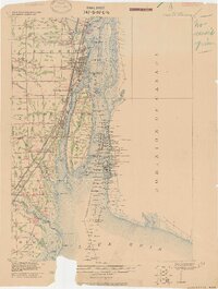
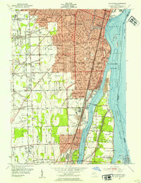
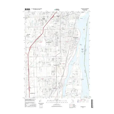
1912 Wyandotte
Wayne County, MI
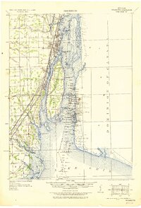
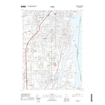
1929 Wyandotte
Wayne County, MI
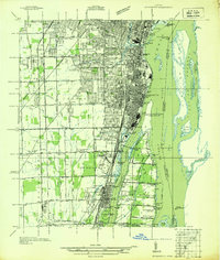
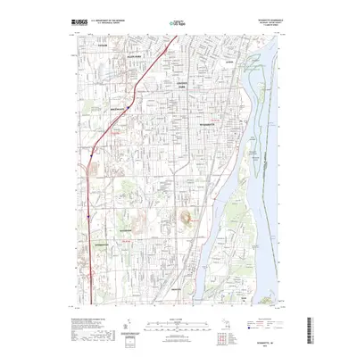
1936 Wyandotte
Wayne County, MI
1942 Wyandotte
Wayne County, MI
1952 Wyandotte
Wayne County, MI
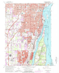
1967 Wyandotte
Wayne County, MI
2011 Wyandotte
Wayne County, MI
2014 Wyandotte
Wayne County, MI
2017 Wyandotte
Wayne County, MI
2019 Wyandotte
Wayne County, MI
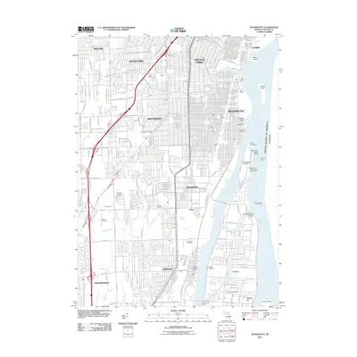
2023 Wyandotte
Wayne County, MI