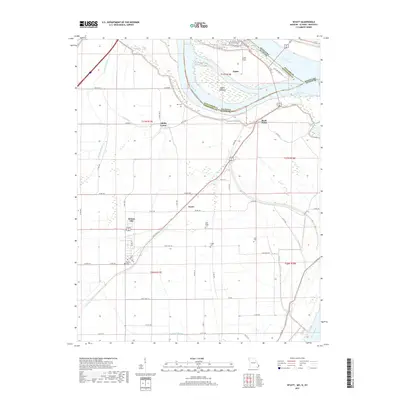
2017 Map of Wyatt
USGS Topo · Published 2017About this map
The Mississippi River and Ohio River converge in a complex hydrographic landscape at Cairo Point, where the borders of Illinois, Kentucky, and Missouri meet. This fluvial environment is defined by dynamic water features like Angelo Towhead and Minor Slough, alongside an extensive network of drainage infrastructure such as Bayou Ditch, Fish Lake Ditch, and Brewer Lake Ditch. The map details the low-lying agricultural plains of Mississippi County, where small settlements and rural hubs like Wyatt, Wilson City, and Alfalfa Center are connected by a grid of levee roads and state highways.
Find a feature on this map
62 named features on this map. Tap any name to fly to it.
Don’t see what you’re looking for? This feature index may not catch every label — zoom into the map to look around manually.
Map Details
Editions of this 2017 Wyatt Map
This is the sole edition of this map. No revisions or reprints were ever made.
Other maps of this area

1931 · Cairo
USGS Topo · 1:62,500

1933 · Cairo
USGS Topo · 1:62,500

1934 · Thebes
USGS Topo · 1:62,500

1939 · Wickliffe
USGS Topo · 1:62,500

1939 · Charleston
USGS Topo · 1:62,500

1939 · Cairo
USGS Topo · 1:62,500

1939 · Thebes
USGS Topo · 1:62,500

1949 · Paducah
USGS Topo · 1:250,000

1950 · Paducah
USGS Topo · 1:250,000

1951 · Wickliffe SW
USGS Topo · 1:24,000