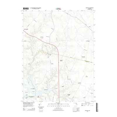
2014 Map of Wye Mills
USGS Topo · Published 2014About this map
Wye Mills sits at the heart of this Eastern Shore landscape where the boundary between Queen Anne's County and Talbot County follows the winding path of Mill Creek. The 2014 survey reveals a transition between established agricultural crossroads and modern educational infrastructure, anchored by the campus of Chesapeake College near the junction of MD-213 and MD-404. Local history is deeply embedded in the terrain, with family-named roads and several historic burial grounds such as the John Wesley Church-Cem and Old Saint Joseph Cem.
Find a feature on this map
52 named features on this map. Tap any name to fly to it.
Don’t see what you’re looking for? This feature index may not catch every label — zoom into the map to look around manually.
Map Details
Editions of this 2014 Wye Mills Map
This is the sole edition of this map. No revisions or reprints were ever made.
Other maps of this area

1898 · Choptank
USGS Topo · 1:125,000

1898 · Tolchester
USGS Topo · 1:125,000

1899 · Dover
USGS Topo · 1:125,000

1901 · Chestertown
USGS Topo · 1:62,500

1903 · Tolchester
USGS Topo · 1:125,000

1904 · St. Michaels
USGS Topo · 1:62,500

1905 · Denton
USGS Topo · 1:62,500

1905 · Barclay
USGS Topo · 1:62,500

1906 · Dover
USGS Topo · 1:125,000

1908 · Tolchester
USGS Topo · 1:125,000