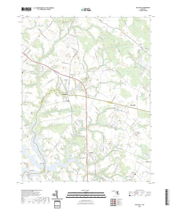
2023 Map of Wye Mills
USGS Topo · Published 2023About this map
Wye Mills sits at the headwaters of the Wye East River, serving as a central point where the boundary between Queen Anne'S Co and Talbot Co is defined by the winding watercourse. This eastern shore landscape is characterized by its intricate tidal estuaries and peninsulas, such as Wye Neck and Wye Island, where the terrain meets Wye Narrows. The settlement pattern follows a network of country lanes and farm roads, including Poplar School Rd and Grange Hall Rd, reflecting the area's agricultural and maritime foundations.
Find a feature on this map
84 named features on this map. Tap any name to fly to it.
Don’t see what you’re looking for? This feature index may not catch every label — zoom into the map to look around manually.
Map Details
Editions of this 2023 Wye Mills Map
This is the sole edition of this map. No revisions or reprints were ever made.
Other maps of this area

1898 · Choptank
USGS Topo · 1:125,000

1898 · Tolchester
USGS Topo · 1:125,000

1899 · Dover
USGS Topo · 1:125,000

1901 · Chestertown
USGS Topo · 1:62,500

1903 · Tolchester
USGS Topo · 1:125,000

1904 · St. Michaels
USGS Topo · 1:62,500

1905 · Denton
USGS Topo · 1:62,500

1905 · Barclay
USGS Topo · 1:62,500

1906 · Dover
USGS Topo · 1:125,000

1908 · Tolchester
USGS Topo · 1:125,000