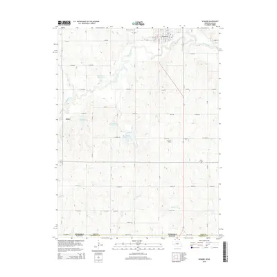
2014 Map of Wymore
USGS Topo · Published 2014About this map
Wymore sits at the northern edge of this landscape where the Big Indian Creek and its namesake reservoirs define the local topography. The map records a transition from the structured residential grid of Wymore down through the rural section-line roads of southern Gage County to the border at State Line Road. This boundary marks the divide between Nebraska and Kansas, specifically where Gage County meets Marshall County.
Find a feature on this map
46 named features on this map. Tap any name to fly to it.
Don’t see what you’re looking for? This feature index may not catch every label — zoom into the map to look around manually.
Map Details
Editions of this 2014 Wymore Map
This is the sole edition of this map. No revisions or reprints were ever made.
Other maps of this area

1889 · Marysville
USGS Topo · 1:125,000

1894 · Marysville
USGS Topo · 1:125,000

1955 · Manhattan
USGS Topo · 1:250,000

1955 · Lincoln
USGS Topo · 1:250,000

1956 · Manhattan
USGS Topo · 1:250,000

1957 · Manhattan
USGS Topo · 1:250,000

1957 · Lincoln
USGS Topo · 1:250,000

1958 · Lincoln
USGS Topo · 1:250,000

1964 · Blue Springs
USGS Topo · 1:24,000

1966 · Oketo
USGS Topo · 1:24,000