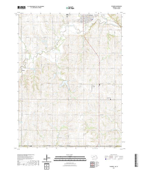
2021 Map of Wymore
USGS Topo · Published 2021About this map
The city of Wymore sits at the northern edge of this Nebraska landscape, where the Big Blue River and Big Indian Creek converge. This 2021 survey documents a region defined by agricultural precision and water management, featuring several flood control structures such as Big Indian Cr Reservoir 2-A and Vitosh Reservoir. The map captures the interface between the urban grid of Wymore and the rural township sections to the south, extending to the Kansas state line.
Find a feature on this map
41 named features on this map. Tap any name to fly to it.
Don’t see what you’re looking for? This feature index may not catch every label — zoom into the map to look around manually.
Map Details
Editions of this 2021 Wymore Map
This is the sole edition of this map. No revisions or reprints were ever made.
Other maps of this area

1889 · Marysville
USGS Topo · 1:125,000

1894 · Marysville
USGS Topo · 1:125,000

1955 · Manhattan
USGS Topo · 1:250,000

1955 · Lincoln
USGS Topo · 1:250,000

1956 · Manhattan
USGS Topo · 1:250,000

1957 · Manhattan
USGS Topo · 1:250,000

1957 · Lincoln
USGS Topo · 1:250,000

1958 · Lincoln
USGS Topo · 1:250,000

1964 · Blue Springs
USGS Topo · 1:24,000

1966 · Oketo
USGS Topo · 1:24,000