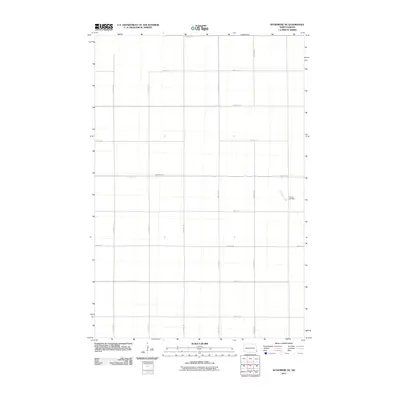
2011 Map of Wyndmere NE
USGS Topo · Published 2011About this map
The quiet rural landscape of Garborg Township is defined by a rigorous grid of section-line roads, a hallmark of North Dakota's agricultural planning. Flowing through the eastern portion of the quadrangle, Antelope Creek provides one of the few natural interruptions to the geometric road network, winding south past the Tuholke Cemetery. This small burial ground stands as a significant landmark for family historians and genealogists tracing early inhabitants of Richland County. The map details the local transportation infrastructure of the early 21st century, including County Rd 4 and County Rd 8, which serve as primary east-west corridors through these expansive prairies. The arrangement of township roads like 158th Ave SE and 67th St SE reflects a century of land division that remains largely unchanged in this farming region.
Find a feature on this map
16 named features on this map. Tap any name to fly to it.
Don’t see what you’re looking for? This feature index may not catch every label — zoom into the map to look around manually.
Map Details
Editions of this 2011 Wyndmere NE Map
This is the sole edition of this map. No revisions or reprints were ever made.
Other maps of this area

1895 · Fargo
USGS Topo · 1:125,000

1895 · Casselton
USGS Topo · 1:125,000

1897 · Fargo
USGS Topo · 1:125,000

1897 · Casselton
USGS Topo · 1:125,000

1904 · Wahpeton
USGS Topo · 1:125,000

1907 · Wyndmere
USGS Topo · 1:125,000

1953 · Fargo
USGS Topo · 1:250,000

1956 · Fargo
USGS Topo · 1:250,000

1959 · Wyndmere NE
USGS Topo · 1:24,000

1959 · Mooreton NW
USGS Topo · 1:24,000