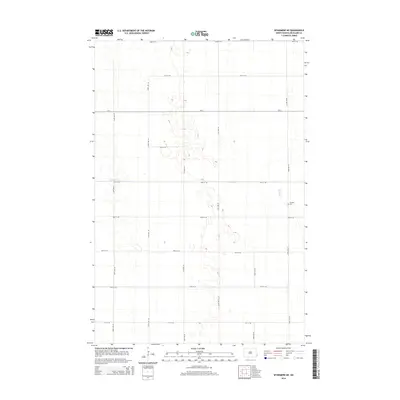
2014 Map of Wyndmere NE
USGS Topo · Published 2014About this map
The flat, agricultural landscape of southeastern North Dakota is defined here by a meticulous grid of rural roads and the meandering path of Antelope Cr. In this corner of Richland County, the terrain is shaped by the section lines that govern local travel, including major arteries like Co Road 29 and Cr-4. A significant point of interest for genealogists and local historians is the Tuholke Cem, situated in the eastern portion of the quadrangle. This small burial site remains a quiet landmark amidst the expansive fields, marking the legacy of the area's early settlers. The map illustrates a highly organized prairie environment where water drainage and transport infrastructure are the primary modifications to the natural plains.
Find a feature on this map
18 named features on this map. Tap any name to fly to it.
Don’t see what you’re looking for? This feature index may not catch every label — zoom into the map to look around manually.
Map Details
Editions of this 2014 Wyndmere NE Map
This is the sole edition of this map. No revisions or reprints were ever made.
Other maps of this area

1895 · Fargo
USGS Topo · 1:125,000

1895 · Casselton
USGS Topo · 1:125,000

1897 · Fargo
USGS Topo · 1:125,000

1897 · Casselton
USGS Topo · 1:125,000

1904 · Wahpeton
USGS Topo · 1:125,000

1907 · Wyndmere
USGS Topo · 1:125,000

1953 · Fargo
USGS Topo · 1:250,000

1956 · Fargo
USGS Topo · 1:250,000

1959 · Wyndmere NE
USGS Topo · 1:24,000

1959 · Mooreton NW
USGS Topo · 1:24,000