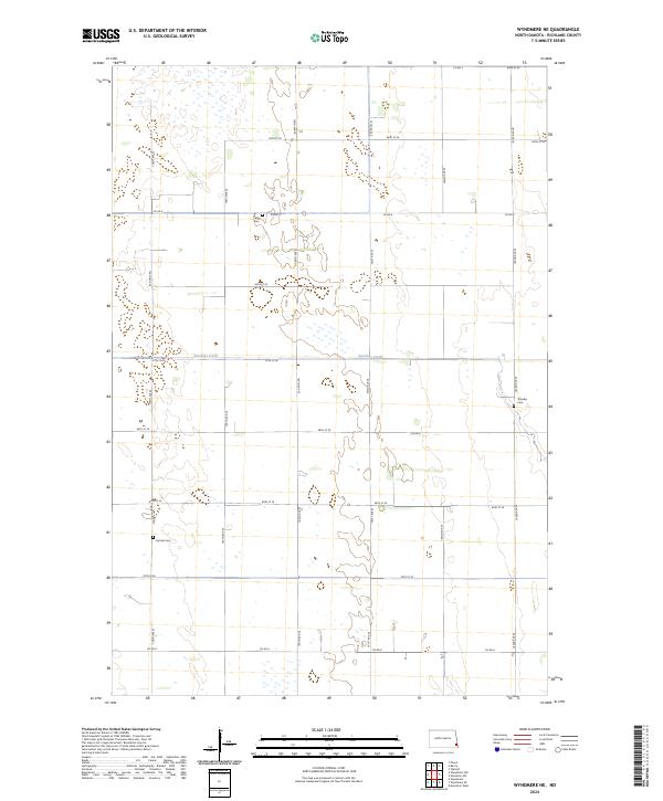
2024 Map of Wyndmere NE
USGS Topo · Published 2024About this map
Antelope Creek meanders through this portion of Richland County, defining the drainage patterns of a landscape marked by numerous small wetlands and seasonal basins. This 2024 survey captures the rural character of southeastern North Dakota, where the Public Land Survey System continues to dictate the grid of township boundaries and gravel roads. Local history and genealogy are anchored by three distinct burial grounds: Viking Cem in the north, Gol Aal Cem to the southwest, and T–holke Cem on the eastern edge. These sites remain the primary markers of the area's early settlement by homesteaders, situated among the sections of t135n r51w and t134n r50w. The network of section-line roads, including Co RD 4 and Co RD 8, provides the modern framework for this agricultural prairie terrain.
Find a feature on this map
26 named features on this map. Tap any name to fly to it.
Don’t see what you’re looking for? This feature index may not catch every label — zoom into the map to look around manually.
Map Details
Editions of this 2024 Wyndmere NE Map
This is the sole edition of this map. No revisions or reprints were ever made.
Other maps of this area

1895 · Fargo
USGS Topo · 1:125,000

1895 · Casselton
USGS Topo · 1:125,000

1897 · Fargo
USGS Topo · 1:125,000

1897 · Casselton
USGS Topo · 1:125,000

1904 · Wahpeton
USGS Topo · 1:125,000

1907 · Wyndmere
USGS Topo · 1:125,000

1953 · Fargo
USGS Topo · 1:250,000

1956 · Fargo
USGS Topo · 1:250,000

1959 · Wyndmere NE
USGS Topo · 1:24,000

1959 · Mooreton NW
USGS Topo · 1:24,000