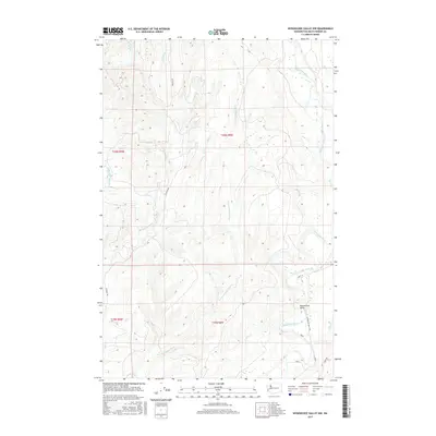
2017 Map of Wynoochee Valley NW
USGS Topo · Published 2017About this map
Wynoochee Valley sits in the lower corner of this landscape, where the Wynoochee River flows through the southeastern timberlands of Grays Harbor County. This 2017 study illustrates a heavily dissected terrain defined by the complex drainage systems of two major river basins. The western half is dominated by the upper reaches and various branches of the Wishkah River, including the E Fork Wishkah River and W Fork Wishkah River. A dense network of logging and forest service roads, such as Wishkah Rd and Wynoochee Valley Rd, provides access across the ridge lines. The map reveals the transition from the flat river bottoms near the Wynoochee Valley settlement to the higher elevations cut by numerous smaller tributaries like Big Cr, Neil Cr, and Helm Cr.
Find a feature on this map
21 named features on this map. Tap any name to fly to it.
Don’t see what you’re looking for? This feature index may not catch every label — zoom into the map to look around manually.
Map Details
Editions of this 2017 Wynoochee Valley NW Map
This is the sole edition of this map. No revisions or reprints were ever made.
Other maps of this area

1921 · Quinault Lake
USGS Topo · 1:62,500

1921 · Satsop
USGS Topo · 1:62,500

1941 · Mobray
USGS Topo · 1:62,500

1943 · Humptulips
USGS Topo · 1:62,500

1943 · Mobray
USGS Topo · 1:62,500

1955 · Wynoochee Valley
USGS Topo · 1:62,500

1955 · Grisdale
USGS Topo · 1:62,500

1955 · Humptulips
USGS Topo · 1:62,500

1955 · Quinault Lake
USGS Topo · 1:62,500

1958 · Seattle
USGS Topo · 1:250,000