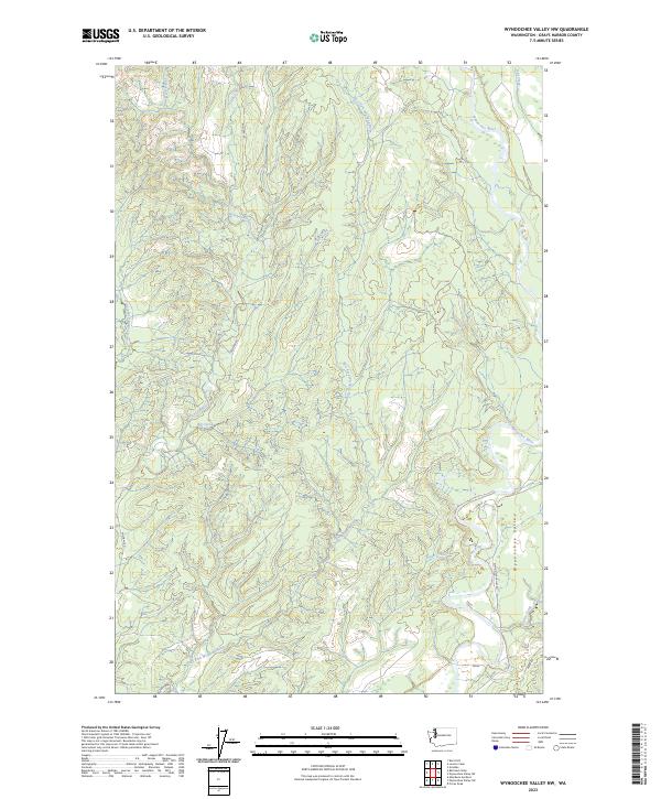
2023 Map of Wynoochee Valley NW
USGS Topo · Published 2023About this map
Wynoochee Valley and the surrounding drainage basins of Grays Harbor County are defined by a complex network of waterways that once supported the region's early logging and agricultural interests. The landscape is carved by the Wishkah River and its various tributaries, including the East Fork Wishkah River and West Fork Wishkah River. These rivers create a rugged topography of steep ridges and deep valleys, as evidenced by the dense contouring. The southeastern corner of the map shows the transition into the broader Wynoochee Valley, where Wynoochee Valley Rd follows the course of the Wynoochee River. This area is characterized by a mix of forestry access routes like Wishkah Rd and smaller named creeks such as Carter Creek and Helm Creek, reflecting a modern landscape still tied to its timber-producing roots.
Find a feature on this map
21 named features on this map. Tap any name to fly to it.
Don’t see what you’re looking for? This feature index may not catch every label — zoom into the map to look around manually.
Map Details
Editions of this 2023 Wynoochee Valley NW Map
This is the sole edition of this map. No revisions or reprints were ever made.
Other maps of this area

1921 · Quinault Lake
USGS Topo · 1:62,500

1921 · Satsop
USGS Topo · 1:62,500

1941 · Mobray
USGS Topo · 1:62,500

1943 · Humptulips
USGS Topo · 1:62,500

1943 · Mobray
USGS Topo · 1:62,500

1955 · Wynoochee Valley
USGS Topo · 1:62,500

1955 · Grisdale
USGS Topo · 1:62,500

1955 · Humptulips
USGS Topo · 1:62,500

1955 · Quinault Lake
USGS Topo · 1:62,500

1958 · Seattle
USGS Topo · 1:250,000