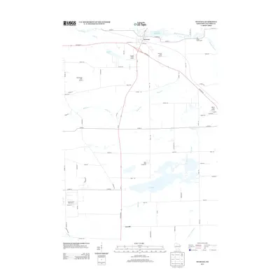
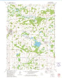
2013 Map of Wyocena
USGS Topo · Published 2013About this map
Wyocena sits at the northern edge of this Columbia County survey, clustered around the Wyocena Millpond 84 where Duck Creek and Curtis Cr converge. The landscape is defined by its transition from these northern wetlands and creek bottoms to the southern reaches of Lowville, marked by the expansive Mud Lake and the meandering course of Rocky Run. A notable concentration of small airfields, including Knutson Field Airport, Prescott Field Airport, and Weatherbee Field Airport, suggests a legacy of private aviation across these rural parcels.
Find a feature on this map
64 named features on this map. Tap any name to fly to it.
Don’t see what you’re looking for? This feature index may not catch every label — zoom into the map to look around manually.
Map Details
Editions of this 2013 Wyocena Map
This is the sole edition of this map. No revisions or reprints were ever made.
Other maps of this area
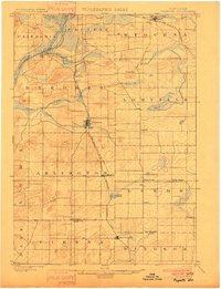
1901 · Poynette
USGS Topo · 1:62,500
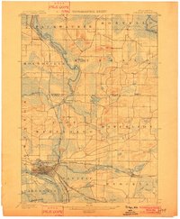
1902 · Portage
USGS Topo · 1:62,500
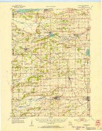
1955 · Randolph
USGS Topo · 1:62,500
1955 · Columbus
USGS Topo · 1:62,500

1957 · Madison
USGS Topo · 1:250,000

1960 · Madison
USGS Topo · 1:250,000
1962 · Poynette
USGS Topo · 1:62,500
1962 · Portage
USGS Topo · 1:62,500
1980 · North Bristol
USGS Topo · 1:24,000
1980 · Rio
USGS Topo · 1:24,000