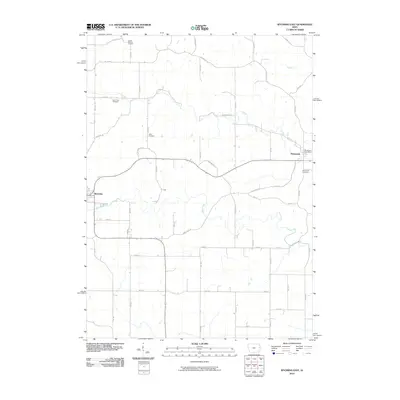
2010 Map of Wyoming East
USGS Topo · Published 2010About this map
The agrarian landscape of Jones County unfolds around the small Iowa settlements of Wyoming and Monmouth. This 2010 survey illustrates a region shaped by its watercourses, most notably Bear Creek and Beers Creek, which wind through a patchwork of rural roads and section lines. For genealogists, the map is a significant resource, documenting several historic burial grounds including South Mineral Cemetery to the north and Monmouth Cemetery on the eastern edge of its namesake town. The layout of the rural road network, featuring names like Pleasant Ridge Rd and Bunker Hill Rd, highlights the established nature of these farming communities. The central hub of Monmouth is further detailed by the location of the Monmouth Post Office, anchoring the town's local identity within the wider landscape of eastern Iowa.
Find a feature on this map
29 named features on this map. Tap any name to fly to it.
Don’t see what you’re looking for? This feature index may not catch every label — zoom into the map to look around manually.
Map Details
Editions of this 2010 Wyoming East Map
This is the sole edition of this map. No revisions or reprints were ever made.
Other maps of this area

1889 · Tipton
USGS Topo · 1:62,500

1890 · Tipton
USGS Topo · 1:62,500

1891 · Monticello
USGS Topo · 1:62,500

1891 · Baldwin
USGS Topo · 1:62,500

1892 · Wheatland
USGS Topo · 1:62,500

1894 · Wheatland
USGS Topo · 1:62,500

1900 · Anamosa
USGS Topo · 1:125,000

1901 · Peosta
USGS Topo · 1:125,000

1901 · Rock Island
USGS Topo · 1:125,000

1901 · Stanwood
USGS Topo · 1:125,000