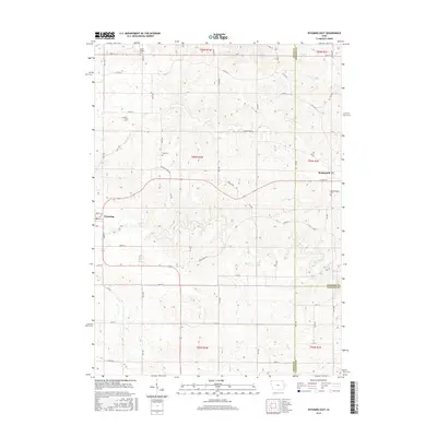
2015 Map of Wyoming East
USGS Topo · Published 2015About this map
Wyoming and Monmouth anchor this landscape along the border of Jones, Jackson, and Clinton Counties. The terrain is defined by the branching tributaries of Bear Creek and Bryan Cr, which carve through the agricultural uplands. This 2015 survey reveals a rural network of named county roads like Pleasant Ridge Rd and Bunker Hill Rd that connect isolated farmsteads and historic burial grounds. For those researching local lineages, the map identifies several well-preserved sites including Bear Creek Cem and Cady Cem. The convergence of Rat Run and other small waterways illustrates the drainage patterns essential to the region's farming heritage, while the town of Wyoming serves as a local hub at the intersection of Isabel St and Green St.
Find a feature on this map
63 named features on this map. Tap any name to fly to it.
Don’t see what you’re looking for? This feature index may not catch every label — zoom into the map to look around manually.
Map Details
Editions of this 2015 Wyoming East Map
This is the sole edition of this map. No revisions or reprints were ever made.
Other maps of this area

1889 · Tipton
USGS Topo · 1:62,500

1890 · Tipton
USGS Topo · 1:62,500

1891 · Monticello
USGS Topo · 1:62,500

1891 · Baldwin
USGS Topo · 1:62,500

1892 · Wheatland
USGS Topo · 1:62,500

1894 · Wheatland
USGS Topo · 1:62,500

1900 · Anamosa
USGS Topo · 1:125,000

1901 · Peosta
USGS Topo · 1:125,000

1901 · Rock Island
USGS Topo · 1:125,000

1901 · Stanwood
USGS Topo · 1:125,000