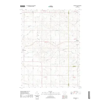
2018 Map of Wyoming East
USGS Topo · Published 2018About this map
Wyoming and Monmouth anchor this rural landscape in Jones County, where the terrain is defined by the winding course of Bear Creek. The map reveals a high density of small family and community burial grounds, including South Mineral Cem, Bear Creek Cem, and Cady Cem, which provide essential touchpoints for genealogical research in this part of Iowa.
Find a feature on this map
63 named features on this map. Tap any name to fly to it.
Don’t see what you’re looking for? This feature index may not catch every label — zoom into the map to look around manually.
Map Details
Editions of this 2018 Wyoming East Map
This is the sole edition of this map. No revisions or reprints were ever made.
Other maps of this area

1889 · Tipton
USGS Topo · 1:62,500

1890 · Tipton
USGS Topo · 1:62,500

1891 · Monticello
USGS Topo · 1:62,500

1891 · Baldwin
USGS Topo · 1:62,500

1892 · Wheatland
USGS Topo · 1:62,500

1894 · Wheatland
USGS Topo · 1:62,500

1900 · Anamosa
USGS Topo · 1:125,000

1901 · Peosta
USGS Topo · 1:125,000

1901 · Rock Island
USGS Topo · 1:125,000

1901 · Stanwood
USGS Topo · 1:125,000