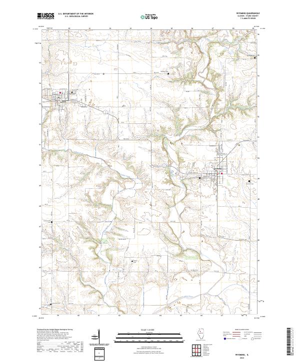
2024 Map of Wyoming
USGS Topo · Published 2024About this map
Stark County Courthouse stands as the civic heart of Toulon, anchoring a landscape where the Spoon River and its tributaries carve a winding path through the central Illinois prairie. This 2024 survey captures the proximity of Toulon and Wyoming, two historic Stark County settlements linked by a grid of rural roads and sections of the Rock Island State Trail. The map is particularly notable for its dense concentration of burial sites, including the Saint Dominic Cem and Wyoming Cem on the eastern edge, and several family or pioneer-era grounds like Mawbey Cem and Sheets Cem scattered among the farmsteads. Waterways such as Indian Creek, Jug Run, and Mud Run define the drainage patterns that have shaped local agriculture for generations, while the County Farm Cem provides a poignant look at the area's social history.
Find a feature on this map
79 named features on this map. Tap any name to fly to it.
Don’t see what you’re looking for? This feature index may not catch every label — zoom into the map to look around manually.
Map Details
Editions of this 2024 Wyoming Map
This is the sole edition of this map. No revisions or reprints were ever made.
Other maps of this area

1893 · Dunlap
USGS Topo · 1:62,500

1898 · Dunlap
USGS Topo · 1:62,500

1932 · Dunlap
USGS Topo · 1:62,500

1933 · Dunlap
USGS Topo · 1:62,500

1933 · Camp Grove
USGS Topo · 1:48,000

1937 · Dunlap
USGS Topo · 1:62,500

1944 · Kewanee
USGS Topo · 1:62,500

1944 · Elmwood
USGS Topo · 1:62,500

1945 · Bradford
USGS Topo · 1:62,500

1948 · Elmwood
USGS Topo · 1:62,500