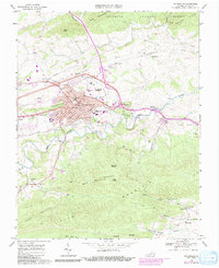
1968 Map of Wytheville
USGS Topo · Published 1991About this map
Wytheville serves as the focal point of this late 1960s survey, showing the town as a vital crossroads where the interstate highway system began to reshape the landscape through developments like Interchange 21. The town's civic core is well-defined, featuring the Courthouse and several educational institutions, including Wytheville Community College and Wythe High Sch. The surrounding terrain transitions from the developed streets of the valley floor into the steep slopes of Lick Mountain and Cove Mountain, where landmarks like Chimney Rocks stand out against the Jefferson National Forest boundary.
Find a feature on this map
54 named features on this map. Tap any name to fly to it.
Don’t see what you’re looking for? This feature index may not catch every label — zoom into the map to look around manually.
Map Details
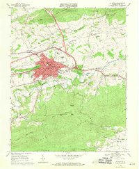
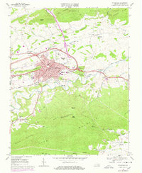
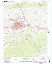
Editions of this 1968 Wytheville Map
4 editions found
Other maps of this area

1887 · Pocahontas
USGS Topo · 1:125,000

1889 · Hillsville
USGS Topo · 1:125,000

1889 · Wytheville
USGS Topo · 1:125,000

1890 · Dublin
USGS Topo · 1:125,000

1891 · Pocahontas
USGS Topo · 1:125,000

1891 · Dublin
USGS Topo · 1:125,000

1892 · Hillsville
USGS Topo · 1:125,000

1892 · Wytheville
USGS Topo · 1:125,000

1894 · Pocahontas
USGS Topo · 1:125,000

1895 · Pocahontas
USGS Topo · 1:125,000