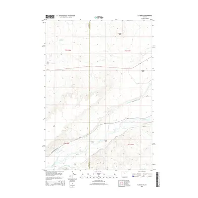
2015 Map of Y U Bench NE
USGS Topo · Published 2015About this map
Greybull River waters dominate the southern portion of this landscape, supporting a complex network of irrigation infrastructure essential to the high plains. The settlement of Fenton serves as a central point in this agricultural corridor, where several historic water projects like Jimmerfield Ditch, Matter Ditch, and Renner-Sims Ditch crisscross the valley. To the north, the terrain rises sharply into the distinctive elevated plateaus of Y U Bench and Emblem Bench, punctuated by the prominent Bridger Butte.
Find a feature on this map
35 named features on this map. Tap any name to fly to it.
Don’t see what you’re looking for? This feature index may not catch every label — zoom into the map to look around manually.
Map Details
Editions of this 2015 Y U Bench NE Map
This is the sole edition of this map. No revisions or reprints were ever made.
Other maps of this area

1951 · Burlington
USGS Topo · 1:24,000

1951 · Y U Bench NW
USGS Topo · 1:24,000

1951 · Y U Bench NE
USGS Topo · 1:24,000

1951 · Sheep Mountain
USGS Topo · 1:24,000

1951 · Tatman Mountain
USGS Topo · 1:24,000

1951 · Sheets Flat
USGS Topo · 1:24,000

1955 · Cody
USGS Topo · 1:250,000

1958 · Cody
USGS Topo · 1:250,000

1962 · Cody
USGS Topo · 1:250,000

1966 · Gilmore Hill SE
USGS Topo · 1:24,000