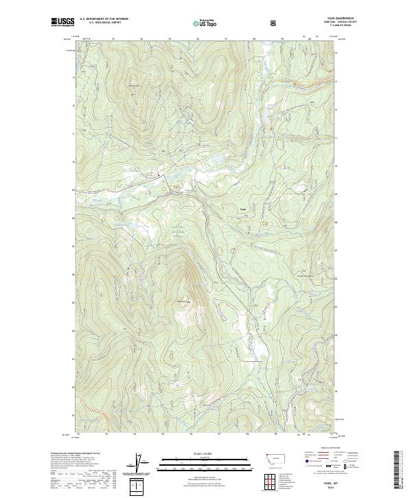
2024 Map of Yaak
USGS Topo · Published 2024About this map
The settlement of Yaak serves as the focal point for this wilderness region in Northwest Montana, where the Yaak River bends sharply through the Kootenai National Forest. The landscape is defined by the high elevations of the Purcell Mountains and prominent peaks like Roderick Butte and Hensley Hill. This modern survey reveals a dense network of forest development roads and specialized trails, such as the Fowler Snowmobile Trl and Vinal Creek Trl, which facilitate access to the timberlands and remote water bodies like Vinal Lake and Obermayer Lake.
Find a feature on this map
64 named features on this map. Tap any name to fly to it.
Don’t see what you’re looking for? This feature index may not catch every label — zoom into the map to look around manually.
Map Details
Editions of this 2024 Yaak Map
This is the sole edition of this map. No revisions or reprints were ever made.
Other maps of this area

1957 · Kalispell
USGS Topo · 1:250,000

1960 · Kalispell
USGS Topo · 1:250,000

1961 · Kalispell
USGS Topo · 1:250,000

1963 · Yaak
USGS Topo · 1:24,000

1963 · Sylvanite
USGS Topo · 1:24,000

1963 · Pink Mountain
USGS Topo · 1:24,000

1963 · Garver Mountain
USGS Topo · 1:24,000

1963 · Clark Mountain
USGS Topo · 1:24,000

1963 · Bonnet Top
USGS Topo · 1:24,000

1963 · Mount Henry
USGS Topo · 1:24,000