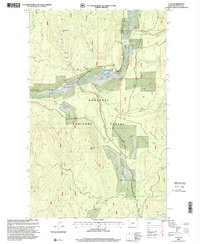
1997 Map of Yaak
USGS Topo · Published 2000About this map
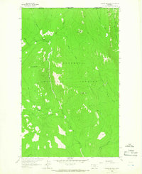
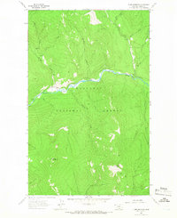
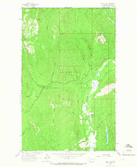
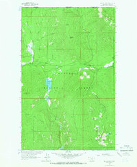
The Yaak River carves through the heart of the Kootenai National Forest in this late-20th-century topographic record of northwest Montana. The small settlement of Yaak serves as the focal point, situated at the confluence where the river meets several mountain drainages. The local infrastructure of this era is clearly marked, including the Yaak Sch, the Yaak Community Center, and a Cemetery located west of Obermayer Lake.
Find a feature on this map
24 named features on this map. Tap any name to fly to it.
Don’t see what you’re looking for? This feature index may not catch every label — zoom into the map to look around manually.
Map Details
Editions of this 1997 Yaak Map
This is the sole edition of this map. No revisions or reprints were ever made.
Other maps of this area

1957 · Kalispell
USGS Topo · 1:250,000

1960 · Kalispell
USGS Topo · 1:250,000

1961 · Kalispell
USGS Topo · 1:250,000
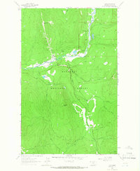
1963 · Yaak
USGS Topo · 1:24,000
1963 · Sylvanite
USGS Topo · 1:24,000
1963 · Pink Mountain
USGS Topo · 1:24,000
1963 · Garver Mountain
USGS Topo · 1:24,000
1963 · Clark Mountain
USGS Topo · 1:24,000
1963 · Bonnet Top
USGS Topo · 1:24,000
1963 · Mount Henry
USGS Topo · 1:24,000