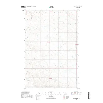
2020 Map of Yablonski Ranch
USGS Topo · Published 2020About this map
Yablonski Ranch sits as a central landmark in this portion of Rosebud County, representing the legacy of ranching in the Montana plains. The landscape is defined by the winding drainage systems of W Blacktail Cr and Rattlesnake Cr, which dictate the local topography and the placement of rural infrastructure. Access through this isolated terrain is maintained by unpaved corridors like Gumbo Butte Rd, Hecker Rd, and N Ingomak Rd. These roads follow the high ground and section lines, connecting the few established ranching outposts across the township boundaries. This survey documents the intersection of modern land use and the traditional ranching economy in a region where water sources and topographic relief continue to shape human settlement patterns.
Find a feature on this map
11 named features on this map. Tap any name to fly to it.
Don’t see what you’re looking for? This feature index may not catch every label — zoom into the map to look around manually.
Map Details
Editions of this 2020 Yablonski Ranch Map
This is the sole edition of this map. No revisions or reprints were ever made.
Other maps of this area

1954 · Forsyth
USGS Topo · 1:250,000

1957 · Forsyth
USGS Topo · 1:250,000

1958 · Forsyth
USGS Topo · 1:250,000

1960 · Yablonski Ranch
USGS Topo · 1:24,000

1960 · Ingomar West
USGS Topo · 1:24,000

1960 · Ingomar East
USGS Topo · 1:24,000

1960 · Black Sea Reservoir
USGS Topo · 1:24,000

1962 · Sumatra
USGS Topo · 1:24,000

1963 · Hecker Ranch
USGS Topo · 1:24,000

1963 · Regnal Coulee
USGS Topo · 1:24,000