Loading...
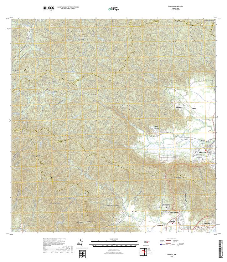
Loading map...2024 Map of Yabucoa
USGS Topo · Published 2024About this map
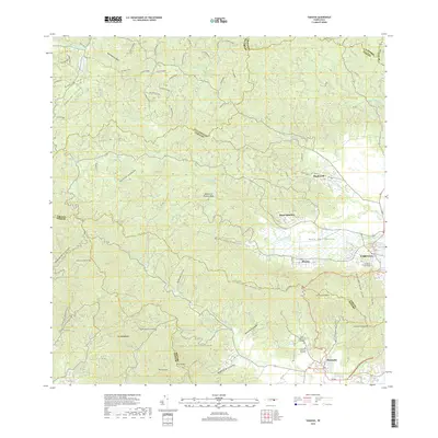
Valle de Yabucoa dominates the southeastern topography where the Sierra de Cayey meets the coast. This modern survey illustrates the complex drainage network of the region, defined by the winding paths of the Rio Guayanes and Rio Maunabo. The urban layout of Yabucoa and Maunabo is shown in detail, including key civic sites like the Tribunal de Yabucoa and the Cementerio Municipal de Yabucoa.
Find a feature on this map
76 named features on this map. Tap any name to fly to it.
Don’t see what you’re looking for? This feature index may not catch every label — zoom into the map to look around manually.
Map Details
Date Portrayed2024
Date Published2024
PublisherU.S. Geological Survey
Map TypeTopographic
Scale1:20,000
Physical Dimensions29 x 33.5 inches
Editions of this 2024 Yabucoa Map
This is the sole edition of this map. No revisions or reprints were ever made.
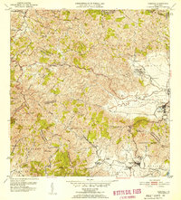
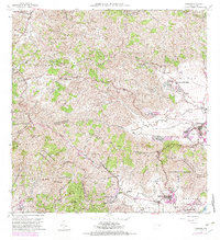
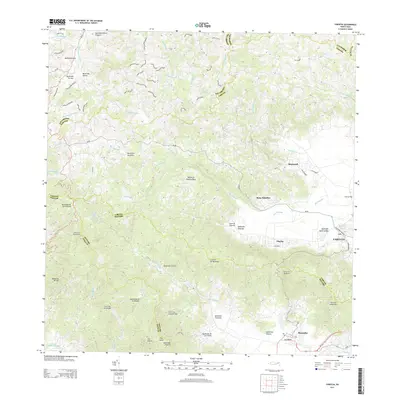
Historical Maps of Yabucoa Through Time
6 maps found

Featured Locations
- Sector Campo Alegre, Yabucoa
- Sector Los Dávila, Yabucoa
- Yabucoa, Yabucoa
- Maunabo, Maunabo
- Garona, Maunabo
Source Details
SourceU.S. Geological Survey
CopyrightPublic Domain