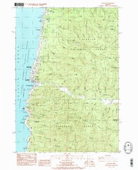
1984 Map of Yachats
USGS Topo · Published 1985About this map
The Yachats River meets the ocean along this stretch of the central Oregon coast, where the community of Yachats serves as the gateway to the massive Siuslaw National Forest. The landscape is defined by the immediate rise from the shoreline into timbered ridges like Dicks Ridge and Cape Ridge. This 1980s data records the coastal developments of San Marine and Camp Angell alongside numerous state-managed lands including Smelt Sands State Wayside and Neptune State Park.
Find a feature on this map
58 named features on this map. Tap any name to fly to it.
Don’t see what you’re looking for? This feature index may not catch every label — zoom into the map to look around manually.
Map Details
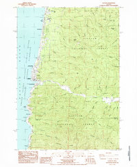
Editions of this 1984 Yachats Map
2 editions found
Other maps of this area

1918 · Mapleton
USGS Topo · 1:48,000

1920 · Heceta Head
USGS Topo · 1:62,500

1922 · Waldport
USGS Topo · 1:62,500

1940 · Mapleton
USGS Topo · 1:62,500

1942 · Waldport
USGS Topo · 1:62,500

1942 · Heceta Head
USGS Topo · 1:62,500

1942 · Tidewater
USGS Topo · 1:62,500

1945 · Mapleton
USGS Topo · 1:62,500

1953 · Salem
USGS Topo · 1:250,000

1954 · Salem
USGS Topo · 1:250,000