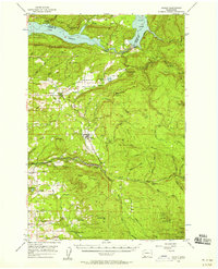
1956 Map of Yacolt
USGS Topo · Published 1958About this map
Yacolt and the surrounding timberlands of the Gifford Pinchot National Forest define this 1950s landscape in Clark and Cowlitz counties. The region is shaped by the powerful hydrology of the Lewis River and its major hydroelectric impoundments, Lake Merwin and Yale Lake. Local life is anchored in small settlements like Amboy and Chelatchie, connected by a network of industrial and rural routes including Reservoir Road and Worthington Road.
Find a feature on this map
78 named features on this map. Tap any name to fly to it.
Don’t see what you’re looking for? This feature index may not catch every label — zoom into the map to look around manually.
Map Details
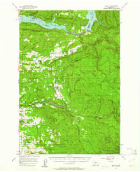
Editions of this 1956 Yacolt Map
2 editions found
Other maps of this area

1897 · Portland
USGS Topo · 1:62,500

1905 · Portland
USGS Topo · 1:62,500

1918 · Troutdale
USGS Topo · 1:62,500

1919 · Mount St Helens
USGS Topo · 1:125,000

1934 · Troutdale
USGS Topo · 1:48,000

1940 · Lookout Mtn
USGS Topo · 1:62,500

1940 · Portland
USGS Topo · 1:62,500

1940 · La Center
USGS Topo · 1:62,500

1941 · Yacolt
USGS Topo · 1:62,500

1941 · Camas
USGS Topo · 1:62,500