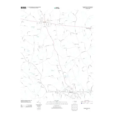
2013 Map of Yadkinville
USGS Topo · Published 2013About this map
Yadkinville serves as the southern anchor of this 2013 landscape, where the town street grid transitions into a network of creek-fed farmlands and small aviation fields. The region is defined by the branching waters of N Deep Cr and Cranberry Cr, which feed several privately named reservoirs including Jim Frazier Lake, Gray Casstevens Lake, and William Shugart Lake. These water bodies suggest a history of local land management and agricultural damming that persists alongside modern development.
Find a feature on this map
202 named features on this map. Tap any name to fly to it.
Don’t see what you’re looking for? This feature index may not catch every label — zoom into the map to look around manually.
Map Details
Editions of this 2013 Yadkinville Map
This is the sole edition of this map. No revisions or reprints were ever made.
Other maps of this area

1891 · Yadkinville
USGS Topo · 1:125,000

1893 · Yadkinville
USGS Topo · 1:125,000

1953 · Winston-Salem
USGS Topo · 1:250,000

1955 · Winston-Salem
USGS Topo · 1:250,000

1962 · Winston-Salem
USGS Topo · 1:250,000
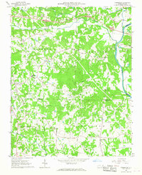
1966 · Farmington
USGS Topo · 1:24,000
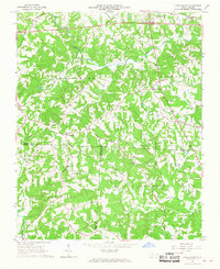
1966 · Lone Hickory
USGS Topo · 1:24,000

1966 · Yadkinville
USGS Topo · 1:24,000

1966 · East Bend
USGS Topo · 1:24,000
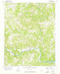
1970 · Siloam
USGS Topo · 1:24,000