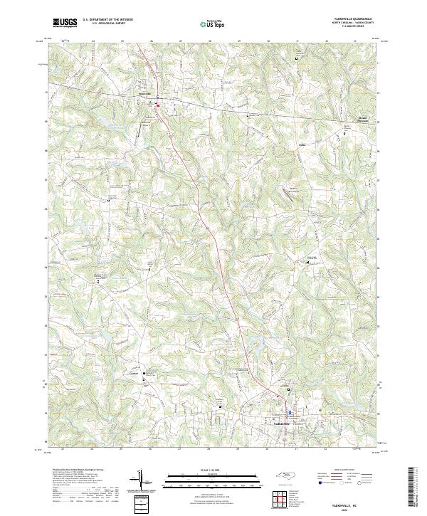
2022 Map of Yadkinville
USGS Topo · Published 2022About this map
The Yadkinville quadrangle in central North Carolina is defined by its network of rural settlements and agricultural heritage. The county seat at Yadkinville serves as the southern anchor, centered on the Yadkin County Courthouse, while the town of Boonville marks the northern extent. Between these hubs, the landscape is dotted with historic congregational centers such as the Center United Methodist Church Cem and Mitchell's Chapel United Methodist Church Cem.
Find a feature on this map
187 named features on this map. Tap any name to fly to it.
Don’t see what you’re looking for? This feature index may not catch every label — zoom into the map to look around manually.
Map Details
Editions of this 2022 Yadkinville Map
This is the sole edition of this map. No revisions or reprints were ever made.
Other maps of this area

1891 · Yadkinville
USGS Topo · 1:125,000

1893 · Yadkinville
USGS Topo · 1:125,000

1953 · Winston-Salem
USGS Topo · 1:250,000

1955 · Winston-Salem
USGS Topo · 1:250,000

1962 · Winston-Salem
USGS Topo · 1:250,000
1966 · Farmington
USGS Topo · 1:24,000
1966 · Lone Hickory
USGS Topo · 1:24,000

1966 · Yadkinville
USGS Topo · 1:24,000

1966 · East Bend
USGS Topo · 1:24,000
1970 · Siloam
USGS Topo · 1:24,000