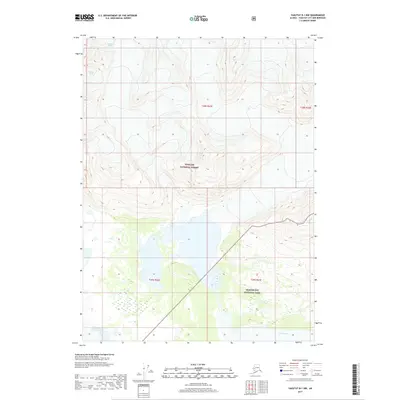
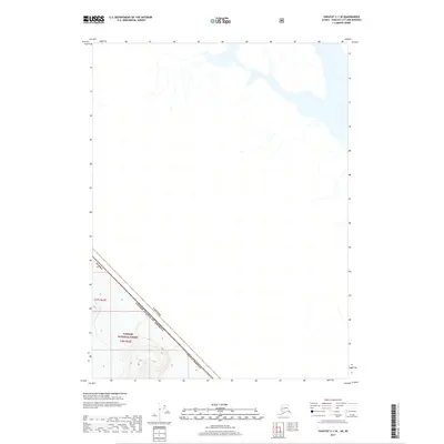
2017 Map of Yakutat B-1 NW
USGS Topo · Published 2017About this map
Glacier Bay National Park and the Tongass National Forest meet in this remote coastal Alaska landscape, where massive ice fields and braided river systems define the terrain. The northern portion of the map is dominated by the Novatak Glacier, its immense reach carved into the mountainside. To the south, the Alsek River cuts through the lowlands, creating a complex network of glacial meltwater channels and wetlands. This 2017 survey illustrates the dynamic intersection of these protected federal lands, showing the transition from high-altitude ice to the river delta. The absence of roads or settlements underscores the wilderness character of the region, emphasizing the natural boundaries established by the t29s r43e and surrounding township lines within the Yakutat City and Borough.
Find a feature on this map
8 named features on this map. Tap any name to fly to it.
Don’t see what you’re looking for? This feature index may not catch every label — zoom into the map to look around manually.
Map Details
Editions of this 2017 Yakutat B-1 NW Map
This is the sole edition of this map. No revisions or reprints were ever made.
Other maps of this area

1951 · Yakutat
USGS Topo · 1:250,000

1959 · Yakutat B-2
USGS Topo · 1:63,360

1959 · Yakutat B-1
USGS Topo · 1:63,360

1959 · Yakutat
USGS Topo · 1:250,000
1985 · Yakutat C-1
USGS Topo · 1:63,360

1985 · Yakutat C-2
USGS Topo · 1:63,360

1997 · Yakutat B-1
USGS Topo · 1:63,360
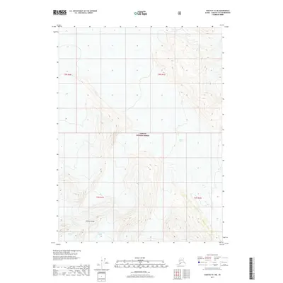
2017 · Yakutat B-2 NE
USGS Topo · 1:25,000
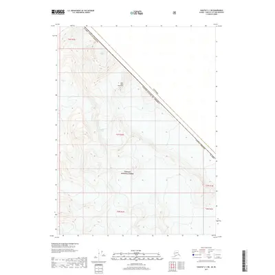
2017 · Yakutat C-1 SW
USGS Topo · 1:25,000
2017 · Yakutat C-1 SE
USGS Topo · 1:25,000